Property location
Move the map pin to the intended drilling area so nearby-well comparisons use the correct coordinates.
 Stewart'sWater Well Service
New and replacement wells
Stewart's Water Well Service drills household, agricultural, industrial, municipal, and geothermal wells in gravel and bedrock formations. Start with a property-specific estimate, then complete the permit before scheduling.
Step 2: Before drilling
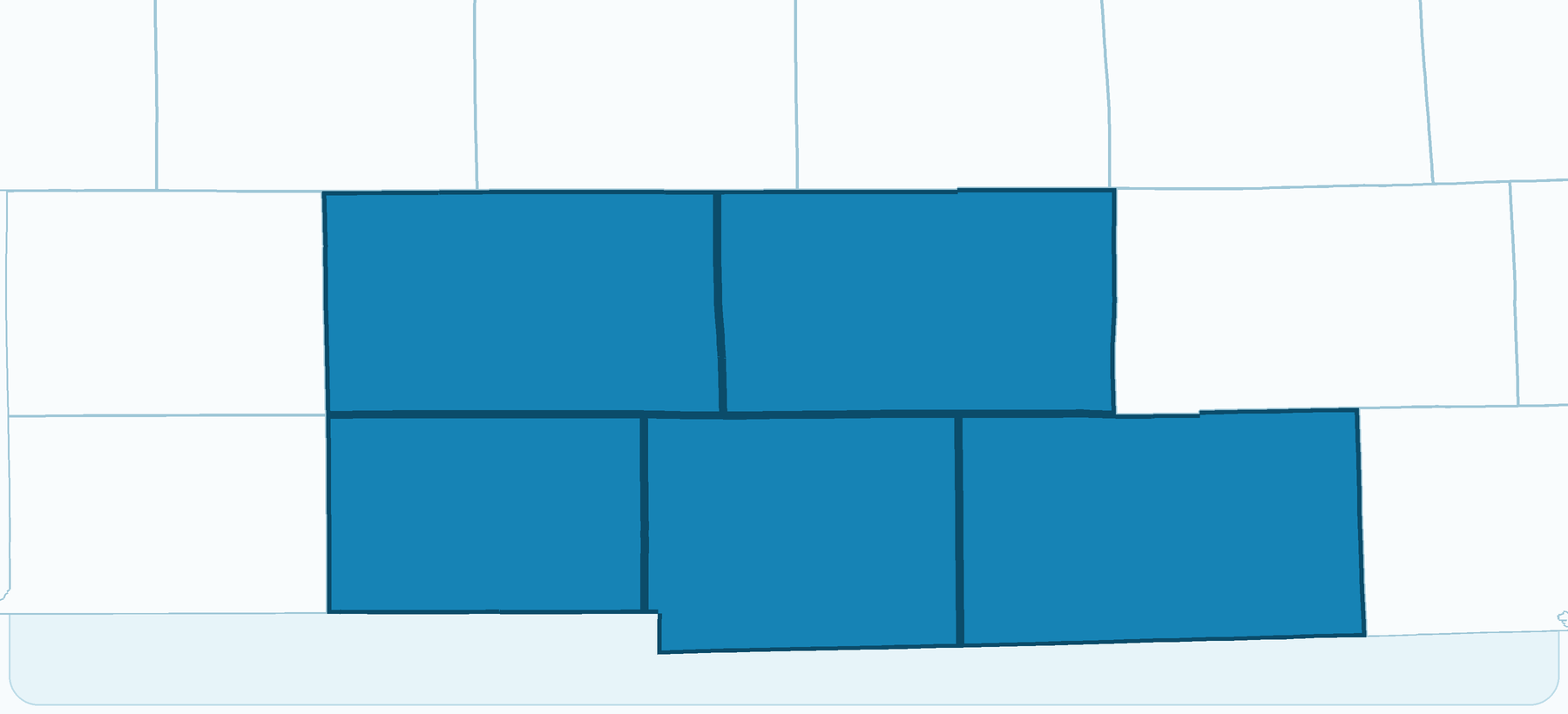
SELECT your county on the map to download a copy of the appropriate permit application form for your well.
Step 3: Once permitted
After downloading your estimate, please call to confirm your scope of work and schedule service dates.
Property-specific planning
The website estimate uses the confirmed well location and nearby reference wells to create an initial planning range. Final depth, construction, and price depend on the conditions encountered and the agreed scope of work.
Move the map pin to the intended drilling area so nearby-well comparisons use the correct coordinates.
Available well records help show the range of conditions and elevation-adjusted depths near the property.
Household, farm, industrial, municipal, and geothermal projects can require different capacity and construction planning. The default estimate pumping system is for standard household use.
Ground formation changes, site access, final well depth, and unexpected scenarios may shift the completed job scope from the initial planning estimate.
Construction range
Wells are constructed with 5"–12" PVC well casing with capability down to 300 feet. The site layout, intended use, and conditions encountered during drilling will shape the final job scope.